

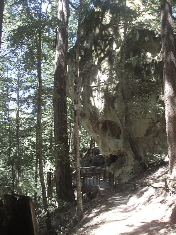
June 2008 Hiking at El Corte de Madera Creek Open Space Preserve on the San Francisco Peninsula
The first 13 photos are from the Virginia Mill Trail...then the Lawrence Creek Trail and then back to the Virginia Mill Trail, about 6 miles round trip.
03 bridge along Virginia Mill Trail at about 1100 foot elevation
07 leaving bridge, looking back
10 first bridge crossing Lawrence Creek at about 800 foot elevation
14 bridge over Lawrence Creek on Lawrence Creek trail, about 1000 foot elevation
16 ladybugs on Lawrence Creek Bridge railing
20 Lawrence Creek Bridge, upstream
21 Lawrence Creek Bridge downstream
22 me on Lawrence Creek Bridge
23 Lawrence Creek Bridge downstream
28 redwood tree overhanging trail along Virginia Mill Trail
30 crossing Lawrence Creek again on Virginia Mill Trail
On the photos below, Click on the photo for a larger image


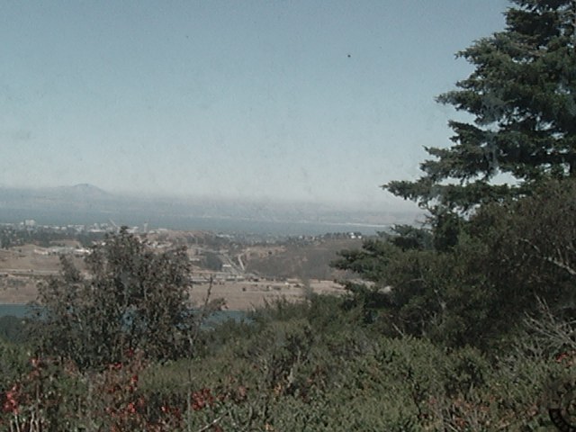 (Mt. Diablo in the distance, across the south part of San Francisco
Bay.)
(Mt. Diablo in the distance, across the south part of San Francisco
Bay.)


The following photos were taken in early November 2008. The first photo is an 8 inch long banana slug. The second is some fungus growing along the trail. The third and fourth photos are a sad reminder of the worst airline disaster in San Mateo County history, 55 years ago, in 1953. The Australian airliner "Resolution" was approaching the San Francisco Airport in a heavy fog and missed the gap in the mountains by about 8 miles. They clipped some trees near the top of the mountains, at about the 2,000 foot elevation. All 19 aboard perished. The Resolution Trail goes past some of the wreckage.


This page was last updated on November 26, 2008